Map and geography
Location of the islands and key historical places.
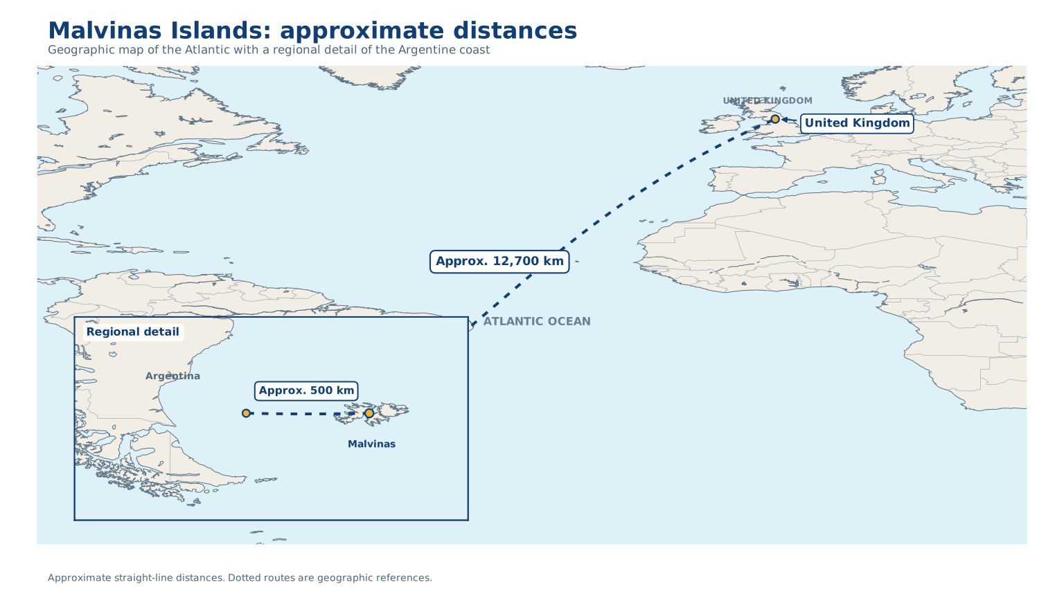
Geographic map of the Atlantic with coastlines, borders and approximate straight-line distances.
Malvinas Islands
The central point of the map, located in the South Atlantic.
Distance to Argentina
Approximately 500 km to mainland Argentina.
Distance to the United Kingdom
Approximately 12,700 km in a straight line to the United Kingdom.